|
|
|
Special Photography Benjamin Fournier Aerial Photography October 17, 2020 |
|
The following aerial photographs were taken by Benjamin Fournier using a DJI drone.
This is a perspective of Long Leaf that few have ever seen. We are grateful to Ben for sharing these.
|
|
|
|
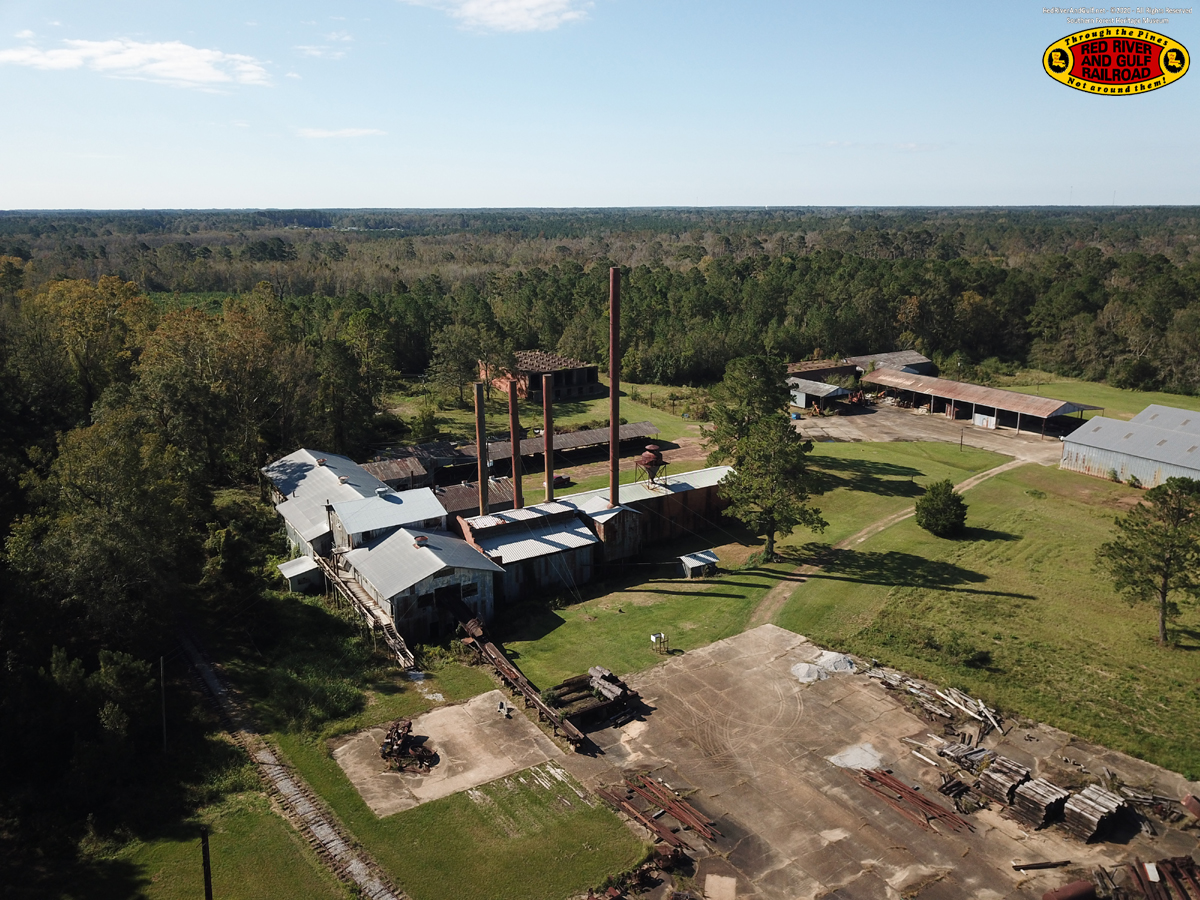
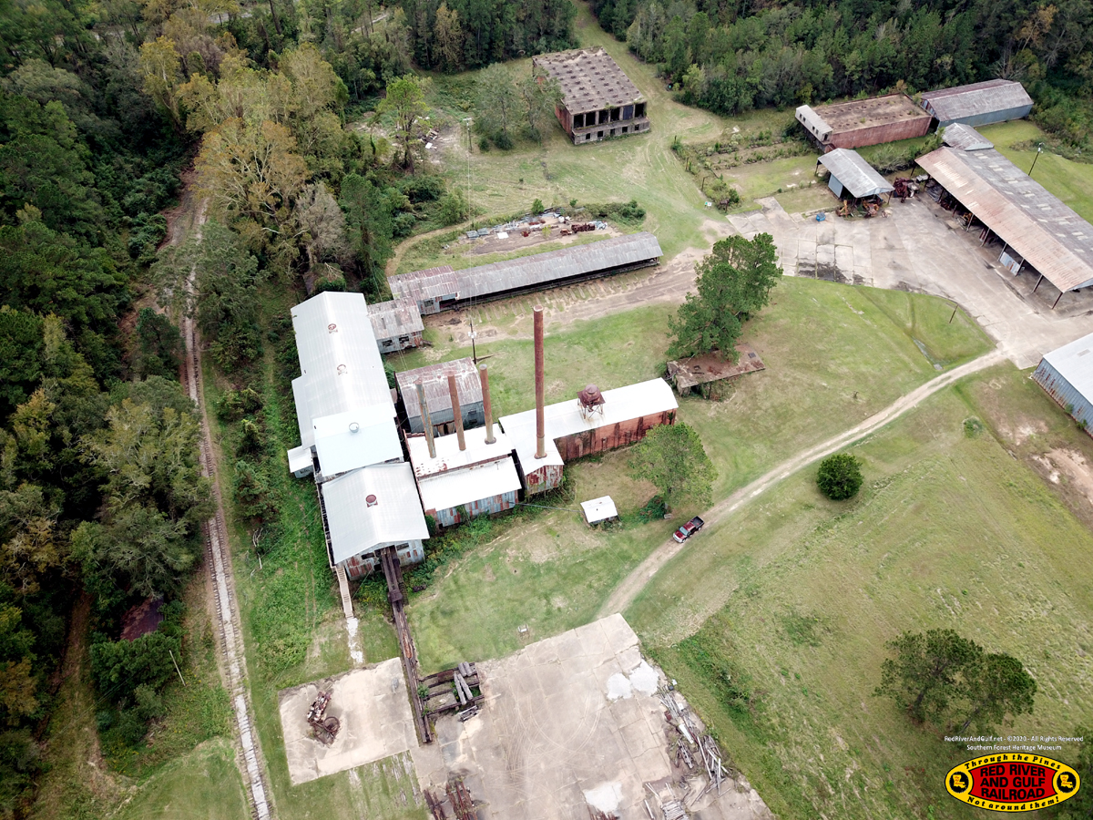
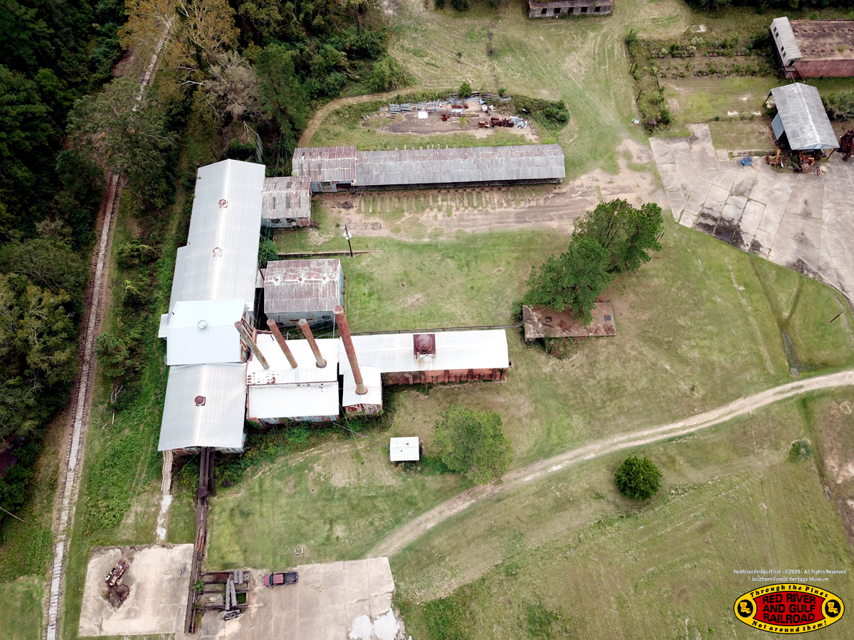
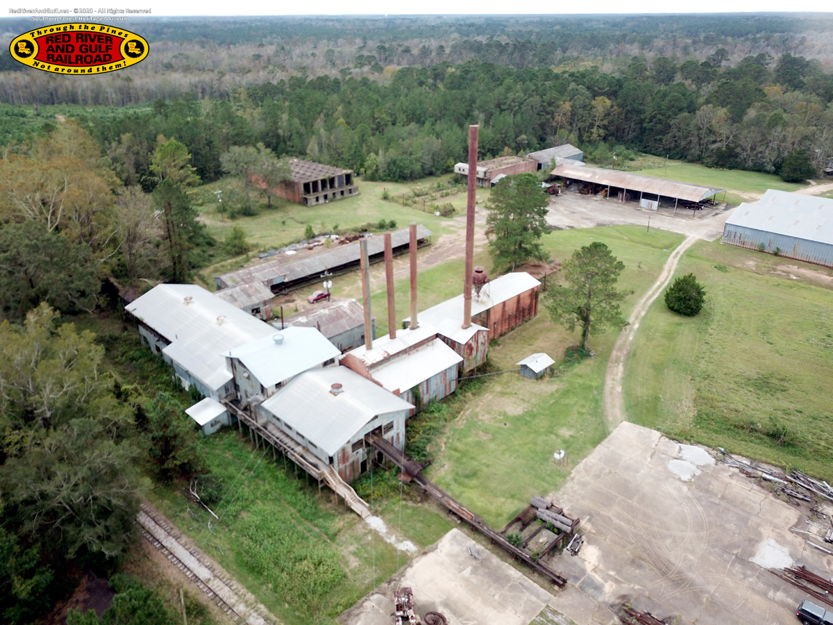
The Mill The concrete pad in the foreground was originally the log pond.
|
|
|
|
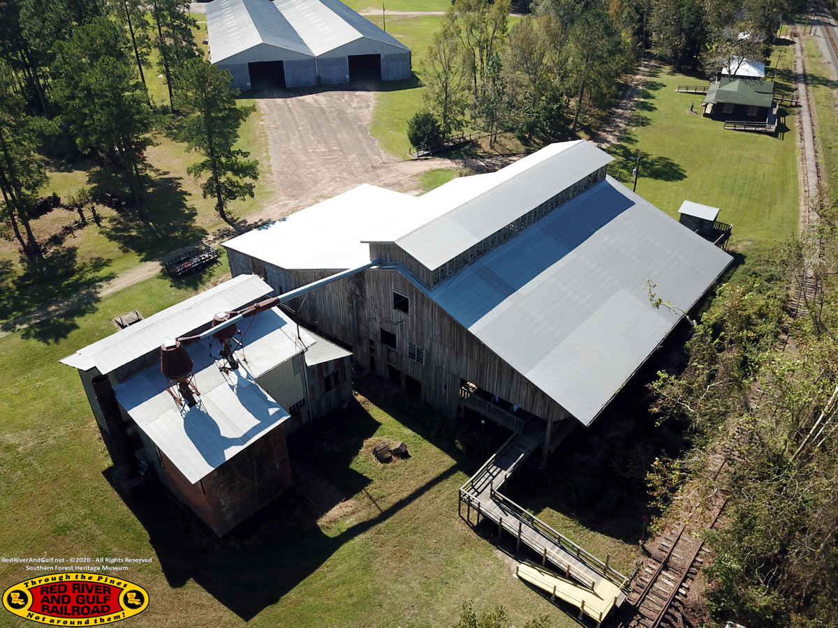
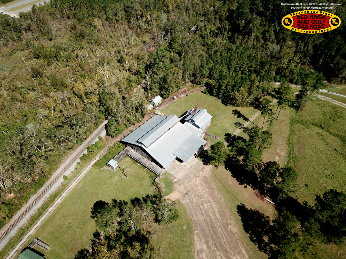
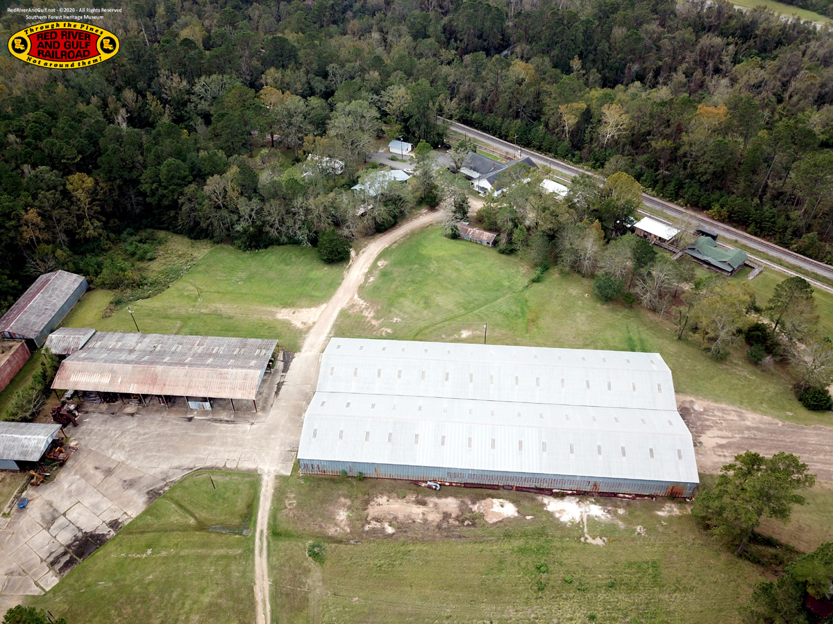
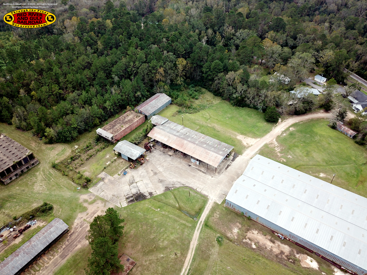
Planer Mill (foreground) Finished Lumber Shed (background)
|
|
|
|
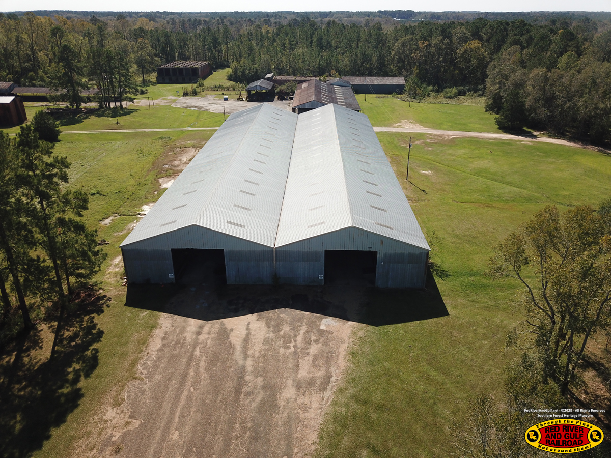
Finished Lumber Shed
|
|
|
|
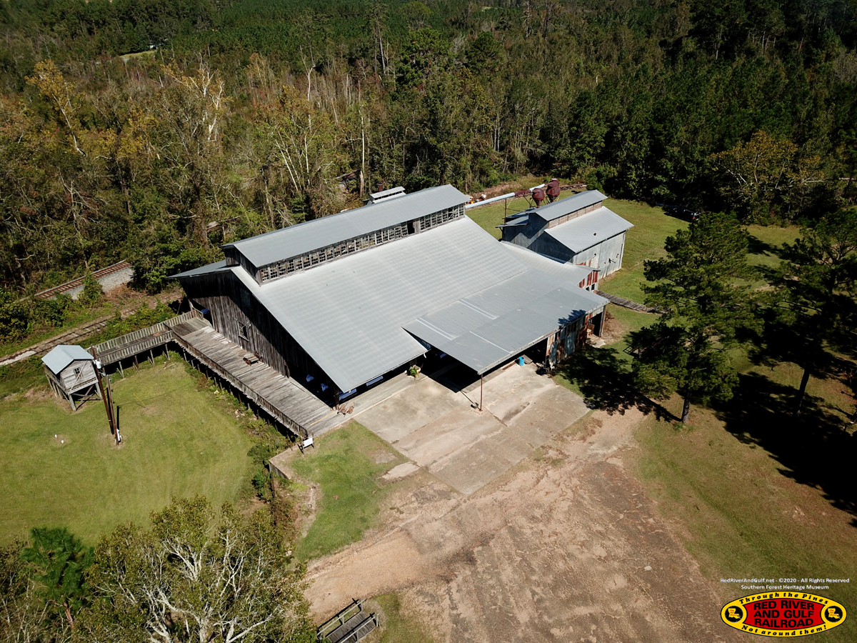
Planer Mill
|
|
|
|
Planer Mill
|
|
|
|
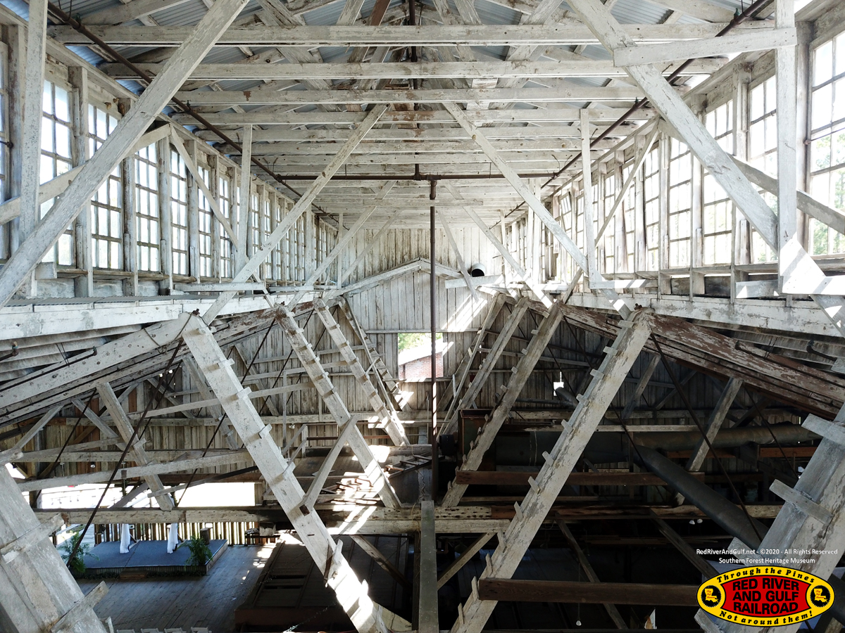
Clerestory inside the Planer Mill
|
|
|
|
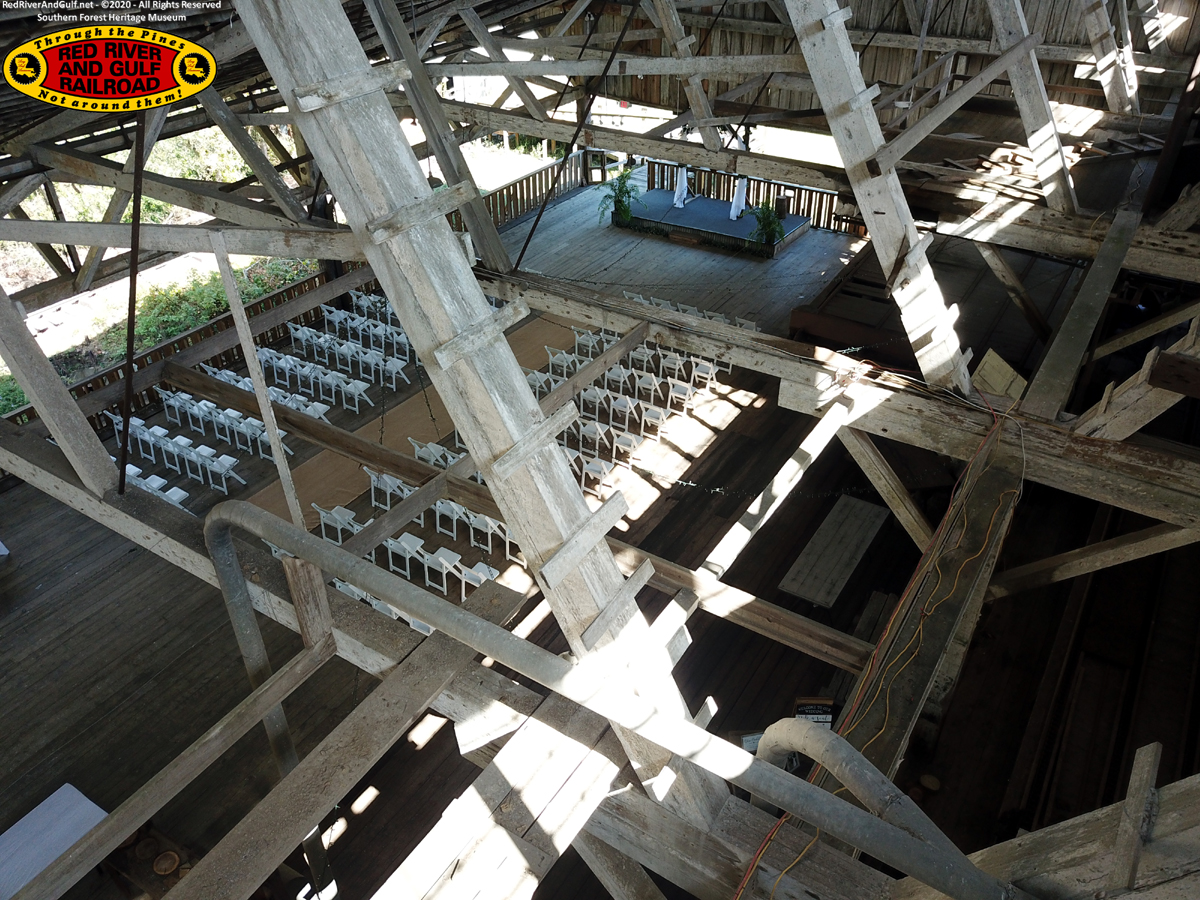
Looking down from the Planer Mill clerestory at wedding preparations.
|
|
|
|
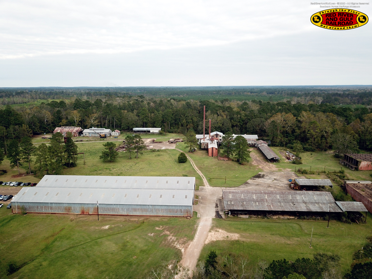
The Mill
|
|
|
|
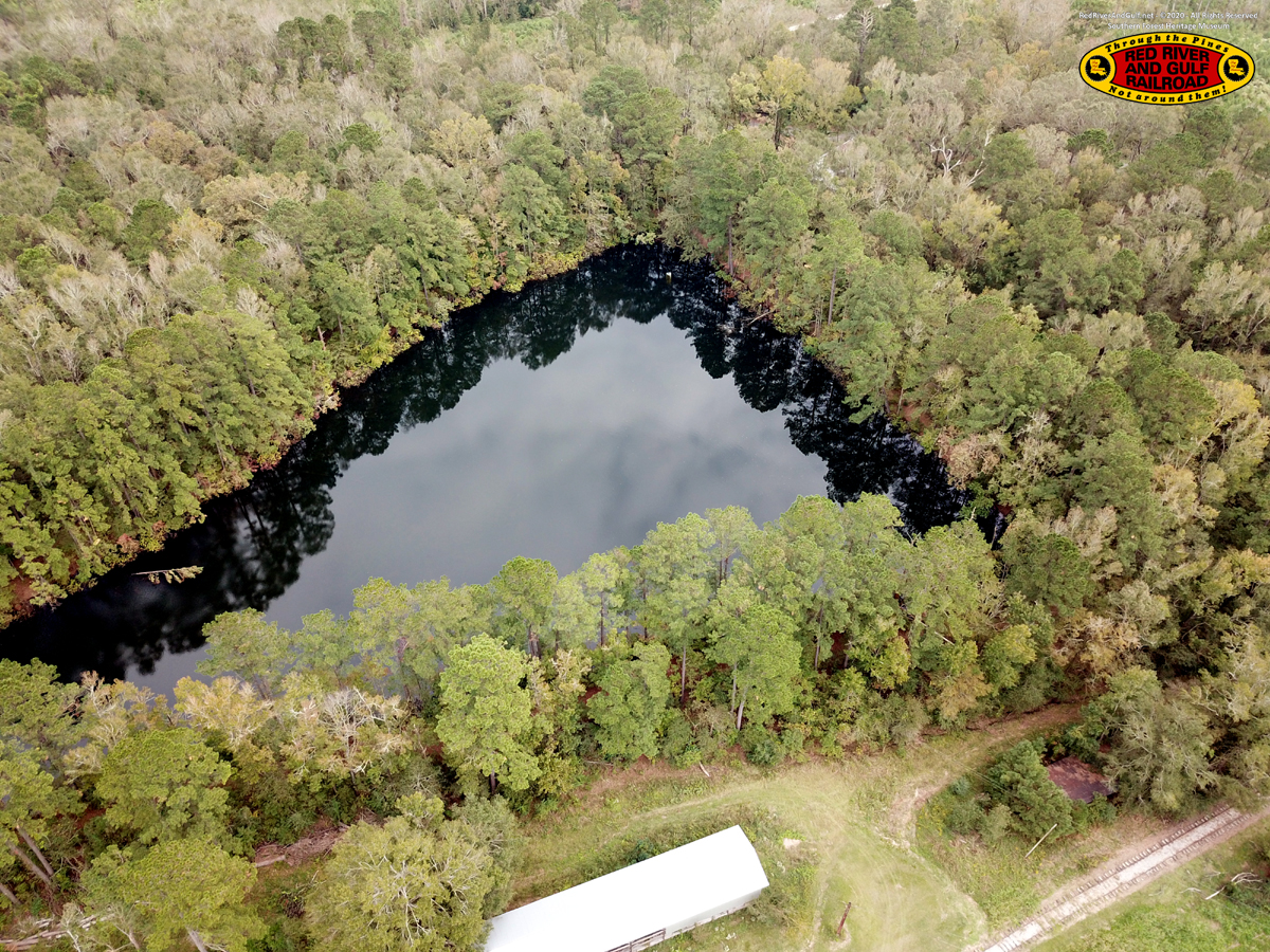
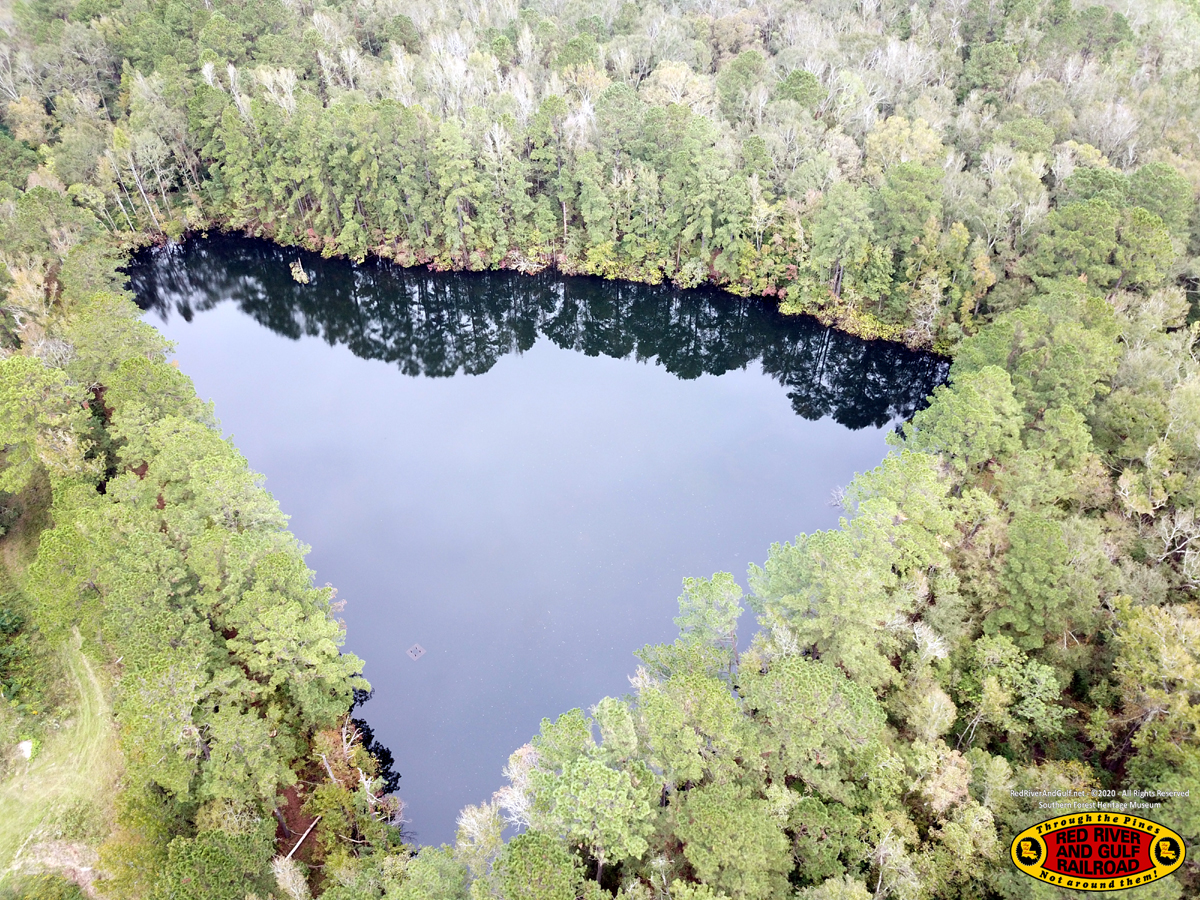
Reserve Log Pond This was used in the event the primary Log Pond was low on water.
|
|
|
|
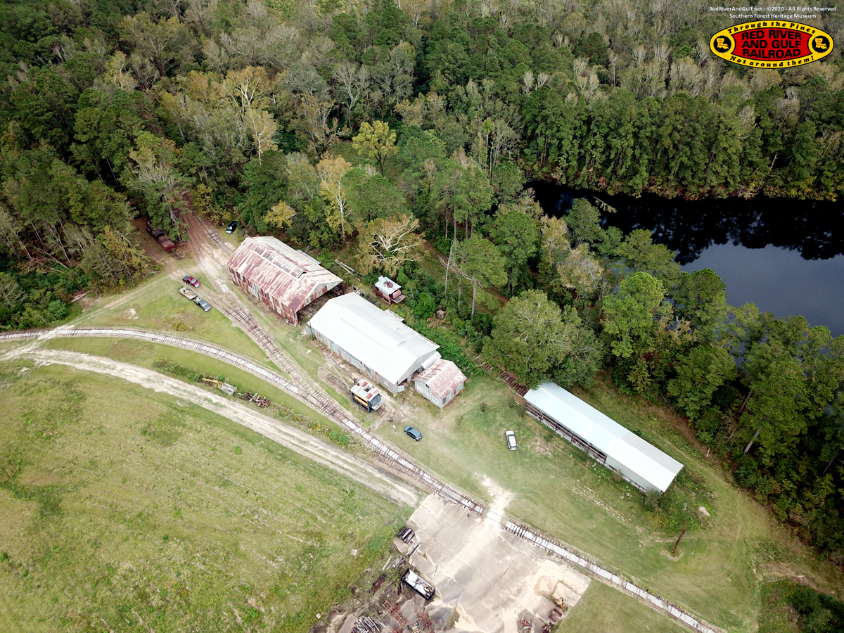
Engine House - Machine Shop - Parts Shed - Car Shop
|
|
|
|
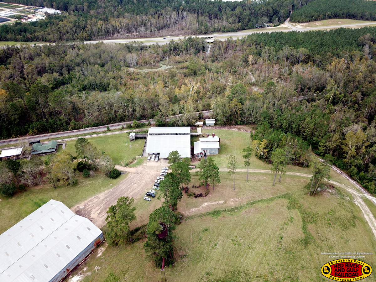
Planer Mill Note the Union Pacific Railroad (Lake Charles Subdivision) in the middle and Highway 165 in the background.
|
|
|
|
Finished Lumber Shed (foreground) and "Downtown Long Leaf" (background)
|
|
|
|
|
|
|
|
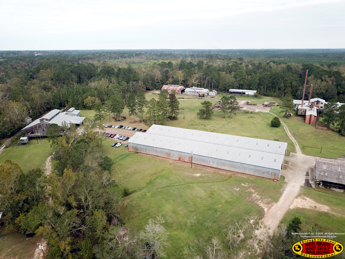
The Mill
|
|
|
|
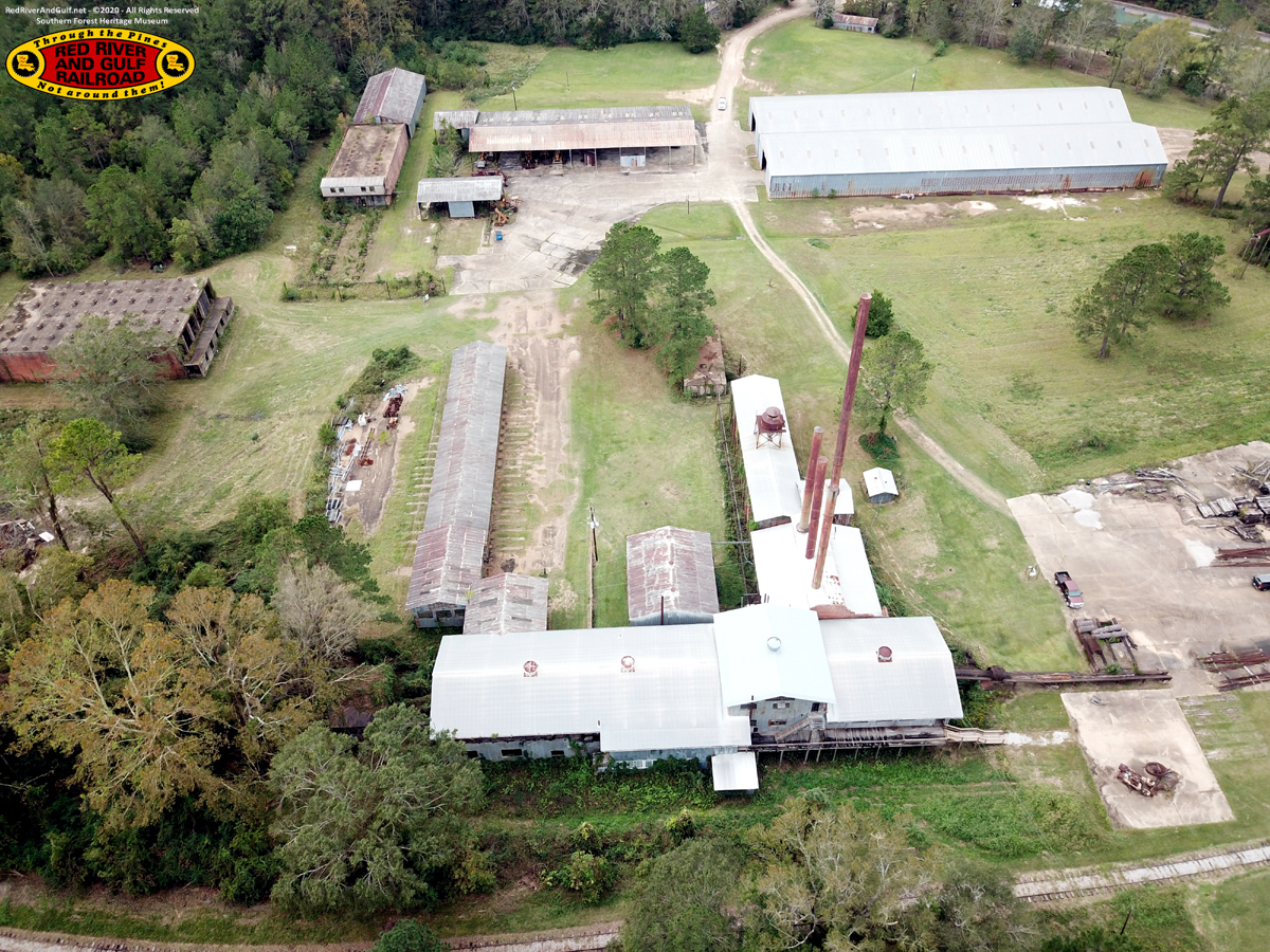
The Mill and Dry Kilns
|
|
|
|
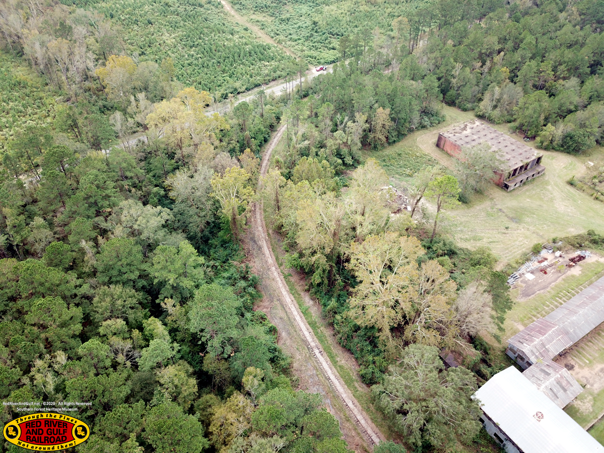
The RR&G line to Meridian, LA, went off to the south from the Loop. Follow the line of trees at the top left of the photo.
|
|
|
|
Reserve Log Pond
|
|
|
|
Mill and Dry Kilns
|
|
|
|
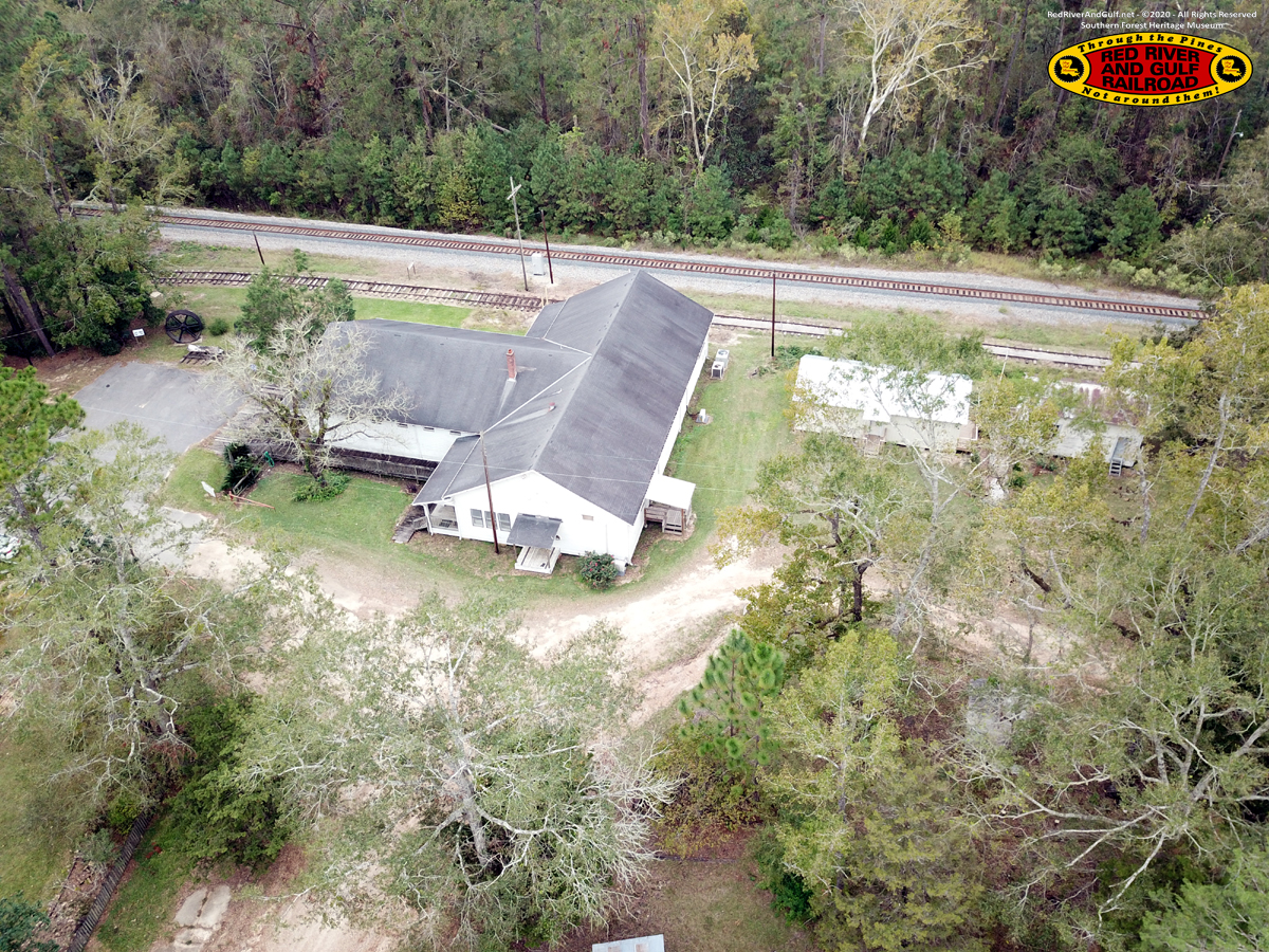
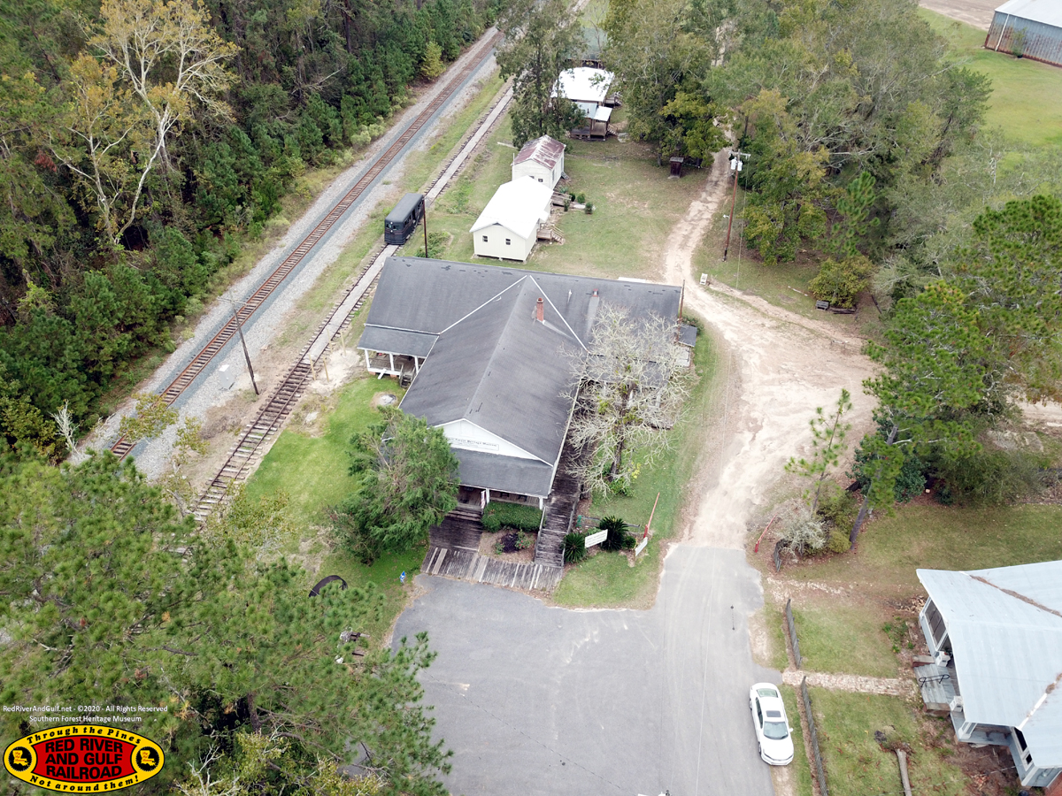
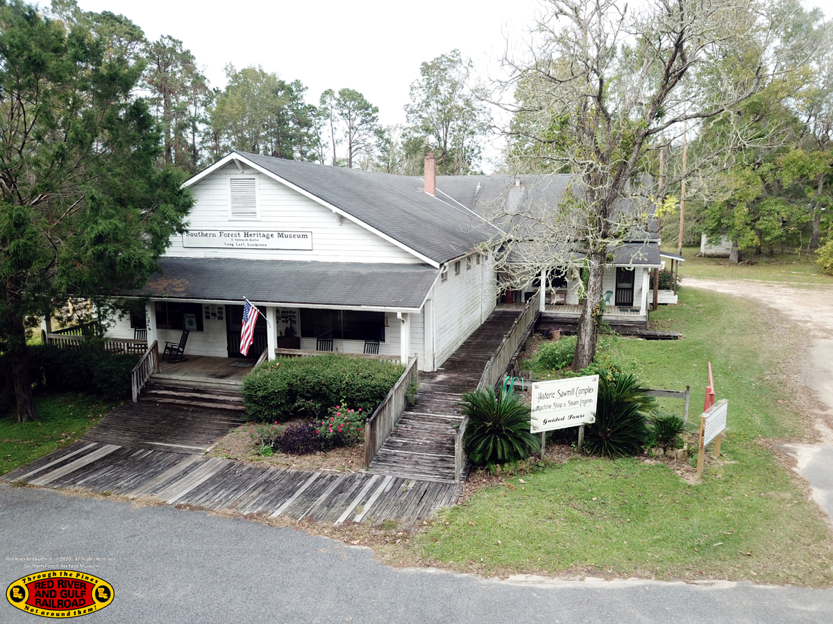
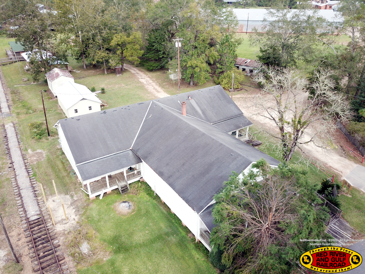
The Commissary and RR&G Depot
|
|
|
|
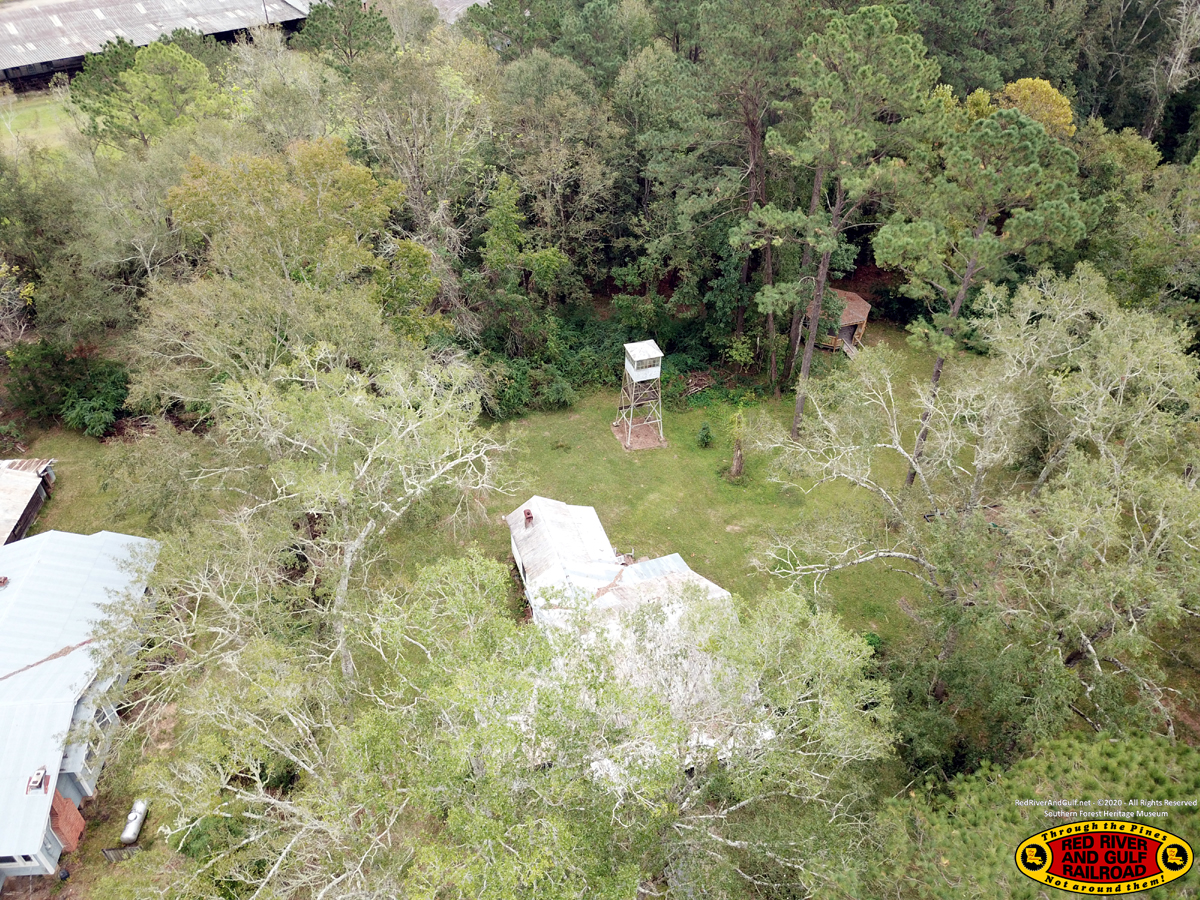
Fire Tower
|
|
|
|
The Commissary and RR&G Depot Notice FC&G M4 heading towards the Depot
|
|
|
|
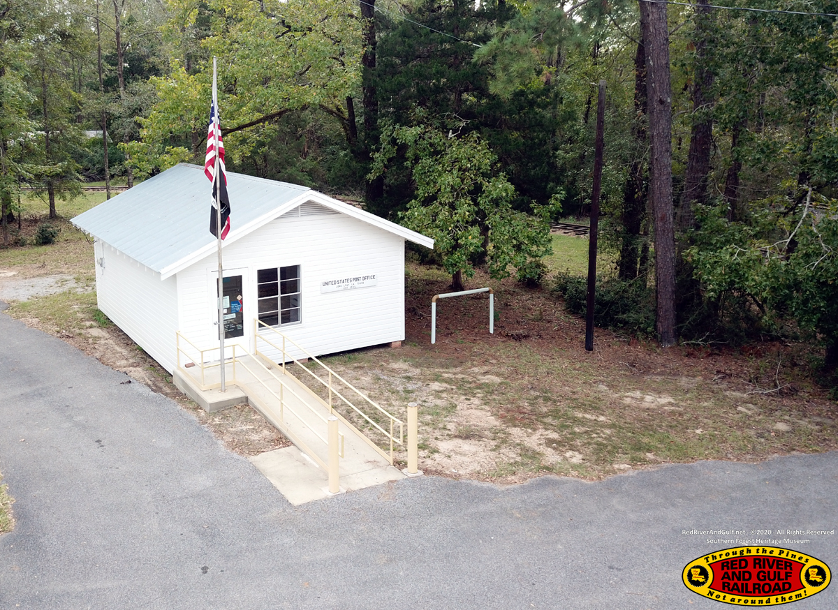
Post Office
|
|
|
|
The Commissary and RR&G Depot
|
|
|
|
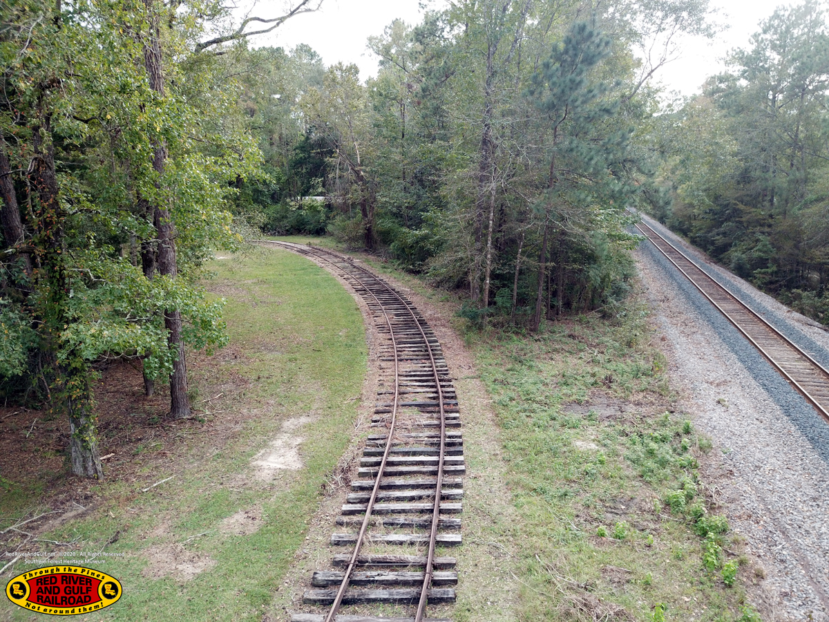
The RR&G Loop on the left and the Union Pacific Lake Charles Subdivision on the right.
|
|
|
|
The Commissary and RR&G Depot
|
|
|
|
Overall view looking north
|
|
|
|
|
